MYWOT
Child safety
Confidence
Trustworthiness
Confidence
MALICIOUS CONTENT INDICATORS
Api.2gis.ru most likely does not offer any malicious content.
Secure connection support
HTTPS
Api.2gis.ru provides SSL-encrypted connection.
ADULT CONTENT INDICATORS
Api.2gis.ru most likely does not offer any adult content.
Popular pages
-
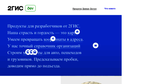
Данные и цифровые технологии 2ГИС
2ГИС для бизнеса и госсектора — точные данные, инструменты для геоаналитики и IT-решения
-
API карт
create interactive maps on the web page; display various objects on the map (markers, pop-ups, geometric objects); search on the map: to determine the coordinates of geoobjects by their names and the ...
-
API карт
Description The following are basic examples of usage of geometric objects. For more information about the work with vector layers use the Vector Layers section of documentation. Polyline display <!DO...
-
API карт
Description The following are examples of usage of markers. A marker can be added to the map using the addTo() method, but if you are planning to work with a group of markers, we recommend you to use...
-
API карт
z (zoom level) coordinates to draw your tile. var CanvasLayer = DG.GridLayer.extend({ createTile: function(coords){ // create a <canvas> element for drawing var tile = DG.DomUtil.c...
-
API карт
DG.plugin function. Below we take a look at several examples of its use. The usage of the DG.plugin function in the case where the module should be loaded before the map initialization: // loading of...